WHY PRECISION FARMING
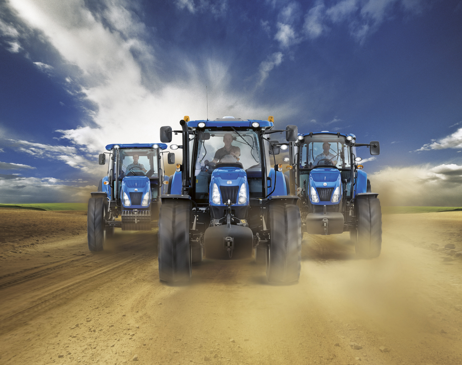
Customer Benefits of Precision Farming
New Holland offers you a full range of GNSS guidance solutions available at factory or as aftermarket kits.
This allows you to answer all your customer needs on their New Holland machine but also for their other manufacturers’ machines.
In this catalogue, you will find all the information related to our aftermarket product offering, from GNSS guidance to crop input control and connectivity.

Reduce operational costs
- Save fuel and input costs by ensuring parallel passes when working either in straight lines, curves, pivots or on undulating ground.

Improve productivity in every condition
- Allow planting, spraying, cultivating or harvesting in difficult weather conditions or at night.
- Guarantee precision and accuracy even in dusty conditions.
- Enlarge and optimise planted areas.

Increase operator’s comfort
- Work longer hours and focus on implement work rather than steering.
- Do the job from low skills.
- Concentrate on the machine and the implements rather than on steering.

Environment protection
- Reduce soil compaction which means lower evaporation rate and higher crop root penetration.
- Optimise fuel consumption.
- Minimise pesticides consumption.
Understand The Basics Of GNSS Guidance
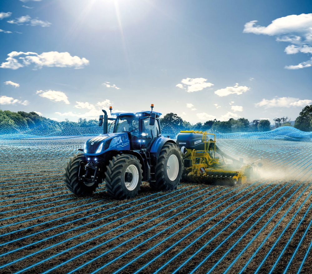
The steering system can be:
- Manual guidance.
- Assisted autoguidance.
- Integrated autoguidance.
The display and receiver grantd the system upgrades:
- Compatible accuracy.
- Steering system.
- Implement monitoring and control.
- Compatibility with other manufacturers’ machines.
- Advanced operations capability.
Container for the dynamic page
(Will be hidden in the published article)